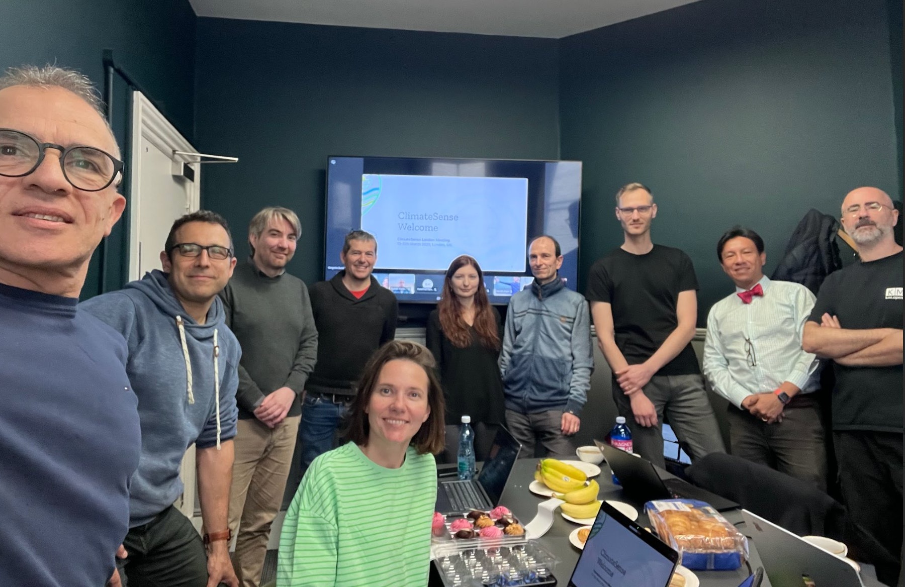
ClimateSense consortium meeting in London
The ClimateSense team met in London for a two-day working meeting to review progress, align on technical directions, and plan next steps.
Mar 13, 2026
Transforming how misinformation is managed in the climate sector offering tools to visualise the interplay of geospatial, temporal, and topical misinformation patterns.

In an era of rapid climate change, the spread of misinformation poses a serious threat to effective climate action.
The ClimateSense project is a collaborative effort to fight this challenge head-on.
ClimateSense (Climate Misinformation Surveillance and Analysis with Multidimensional GIS) builds an innovative platform that combines climate science, misinformation research, and advanced geospatial analysis to monitor and analyse climate disinformation across the globe.
The core of our project is a multidimensional GIS (Geographic Information System) that acts as a surveillance and analysis tool. This platform helps us understand where, when, and how climate misinformation is spreading.
At the heart of ClimateSense is an interlinked Knowledge Graph. This powerful tool links climate misinformation claims directly to credible scientific evidence. This not only helps us identify false narratives but also provides a clear, evidence-based counter-narrative to debunk them.